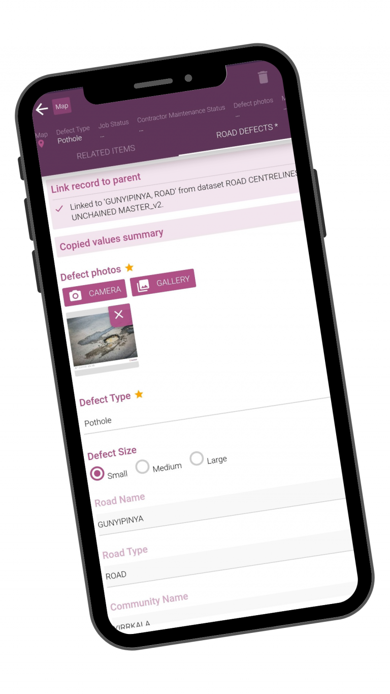
Make your data collection forms categorical based on your project requirements, and publish them instantly to the apps.
Utilize our unlimited storage to take photos on the field, collect and view PDFs, and share documents among your team.
Immediately and accurately input data by scanning barcodes in the field. You can even import and deploy hierarchical choice lists with ease.
Avg. Time on Page
+0%
Avg. Session Duration
+0%
Avg. Page Load Time
-0%
Bounce Rate
+0%
Easily conduct field inspections on the go
With Konect’s apps you no longer have to deal with paper forms or costly devices. Konect delivers top user experiences on affordable consumer grade hardware.
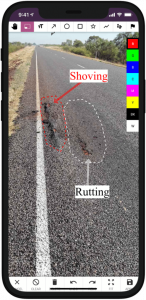
Capture media, annotations, and signatures
The power of photos is in their simplicity, but by adding lines, circles, squares, arrows, polygons, or even a hand-drawn sketch to your photos you can turn them into a complete reference.
Sketch on a blank canvas
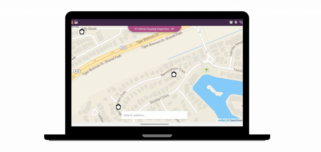
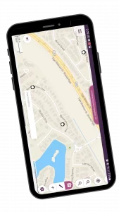
Maps can be sent with forms for use online and offline, and GPS-tracking can help workers locate one another.
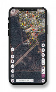
Location is given
Maps can be sent with forms for use online and offline, and GPS-tracking can help workers locate one another.
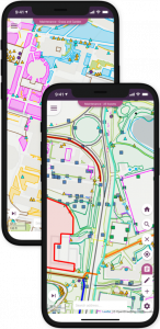
Sketch on a canvas
Create sketches and diagrams that show details of your surroundings to help the manager or other fieldworker understand the request.
Unlimited flexibilities
Design is everywhere. From the dress you’re wearing to the smartphone you’re holding. If you think good design is expensive.
Inspect with maps
If you are looking for satellite imagery or crisp detailed street maps, Konect has you covered. You can select different map layers to include a practical and aesthetic appeal to your projects.
Detailed street and terrain maps provided by OpenStreetMap provide a more earthly perspective
You can also use the MBTiles format to create your own offline base maps.
And of course, our satellite imagery covers the entire globe, we've got them all.